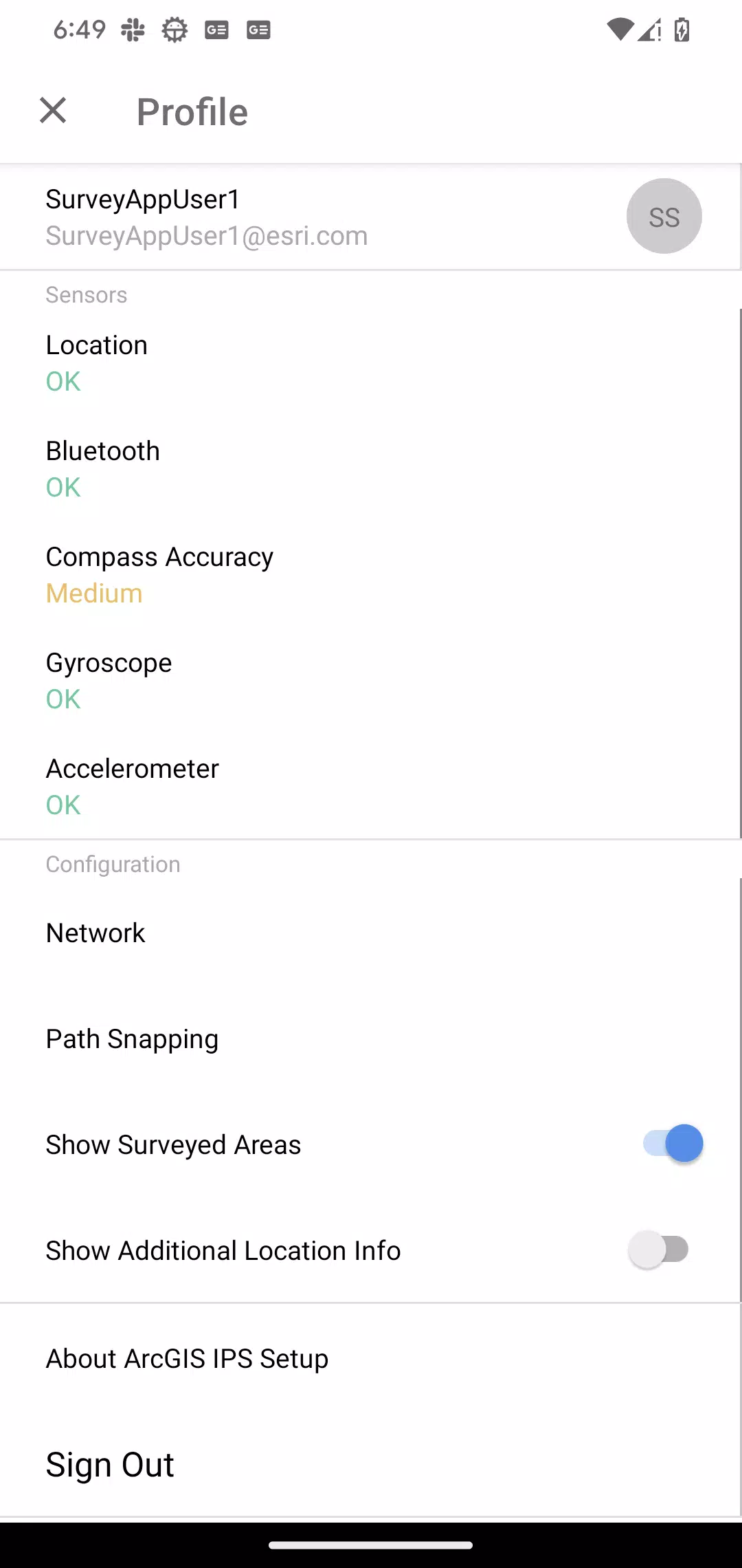
Informazioni su ArcGIS IPS Setup
Overview
The ArcGIS IPS Setup application for Android is designed to help you set up an indoor positioning system (IPS) within your facility. This application provides you with the essential tools needed to record radio signals inside the areas where you want to deploy the indoor positioning system. Once your Bluetooth Low Energy Beacon or WiFi infrastructure is in place, use ArcGIS IPS Setup to conduct a thorough survey of your indoor spaces, enabling the "blue dot" feature indoors.
Key Components
The IPS Setup app includes several key components that facilitate the setup process:
-
Map List: Access and view detailed information about various maps, set favorites for quick access, open maps directly, and navigate to the recordings menu.
-
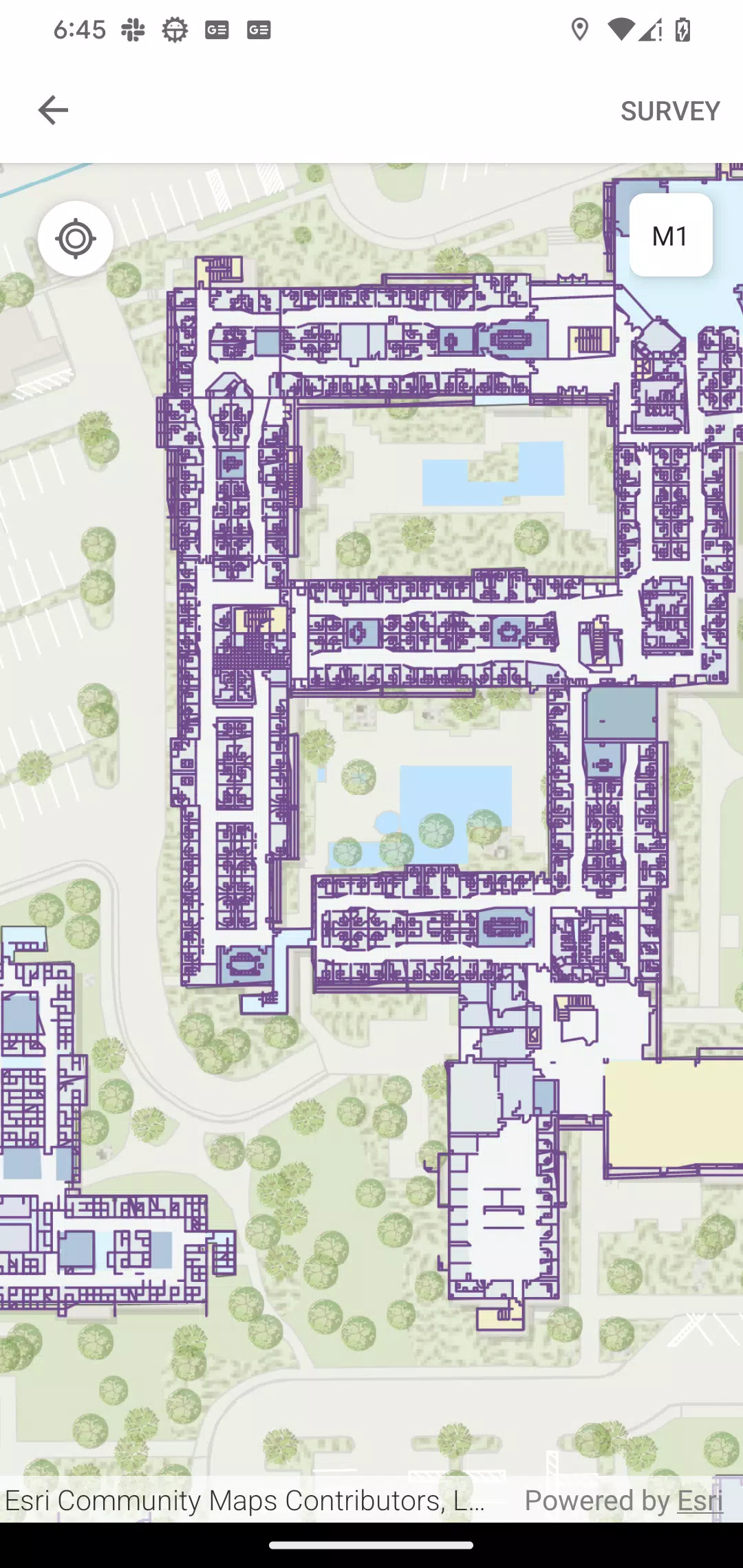
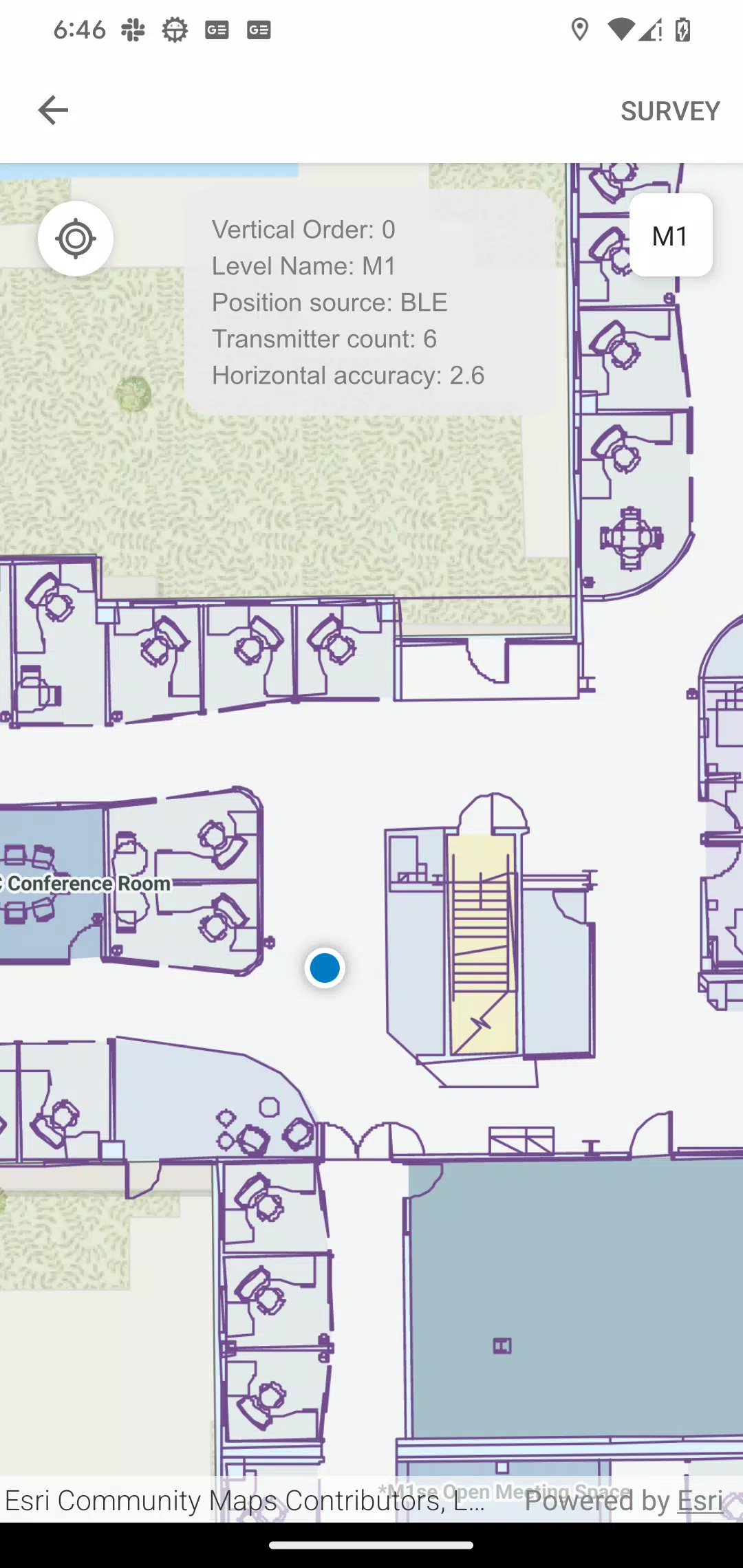
Map Mode: Visualize floor plans, test and experience indoor positioning within your facility, and access the Survey function to collect indoor positioning reference data. This mode allows you to interact with the facility's layout and understand how the positioning system will work in practice.
-
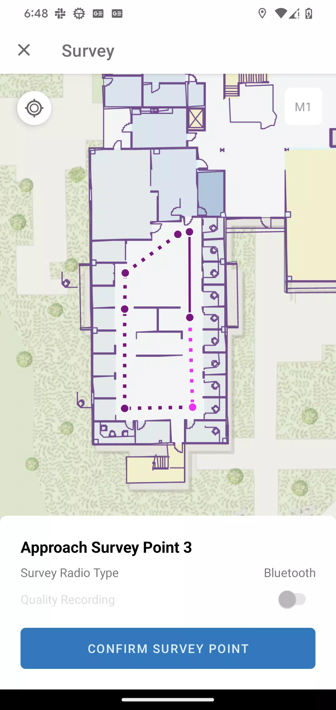
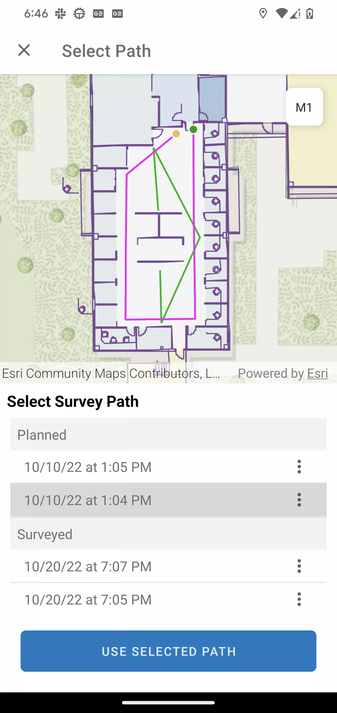
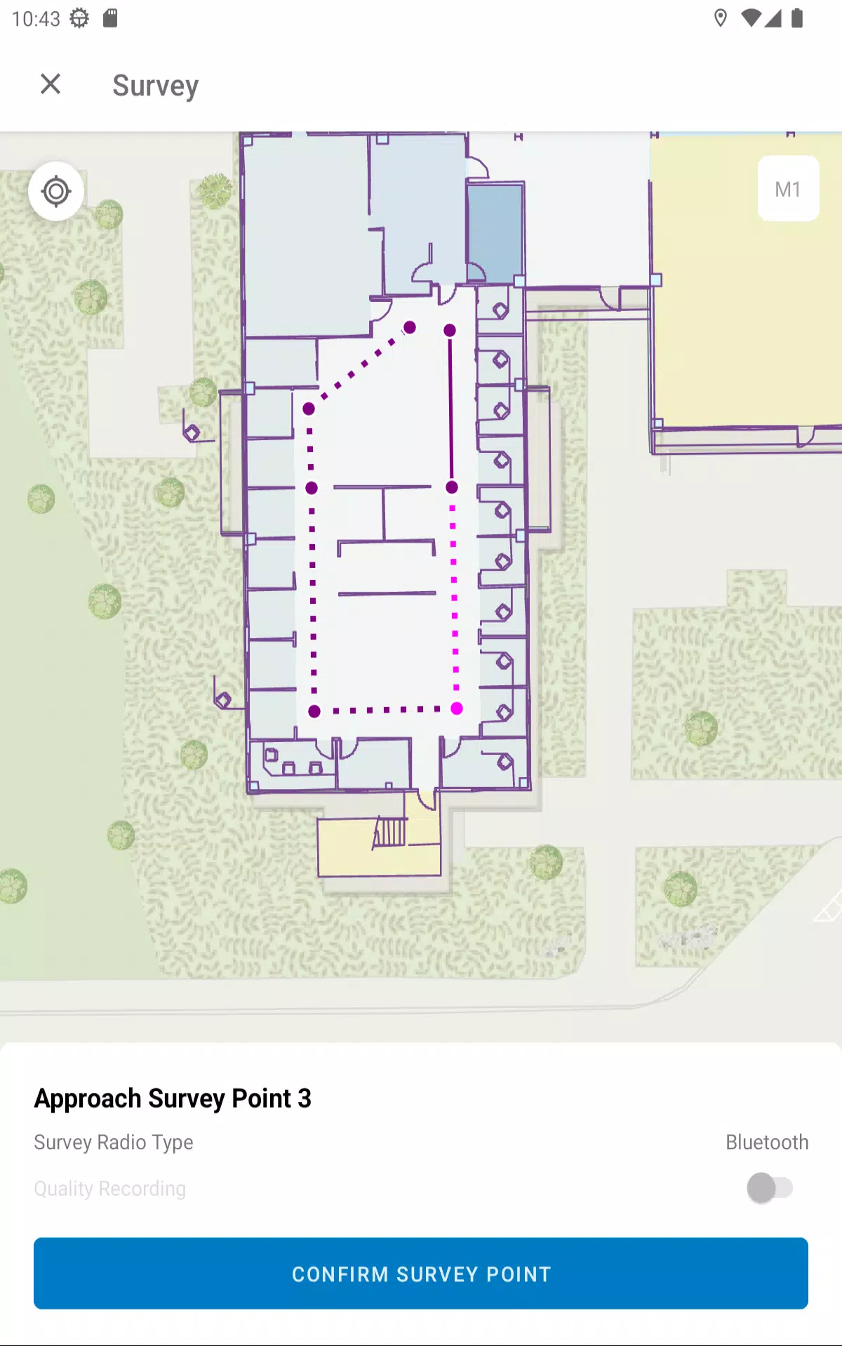
Survey Mode: Plan and execute a comprehensive radio signal survey. By sketching and recording radio surveys, you can effectively collect and maintain the necessary data for accurate indoor positioning. This mode is crucial for ensuring that the indoor positioning system performs optimally within your facility.
By utilizing these components, you can efficiently set up and manage your indoor positioning system, enhancing navigation and location-based services within your space.