حول Topo Tools
Topo Tools
Overview
Topo Tools is a comprehensive application designed specifically for land surveyors working within the Romanian Stereo '70 coordinate system. This powerful tool simplifies the process of converting and managing coordinates, making it an essential asset for professionals in the field.
Key Features
-
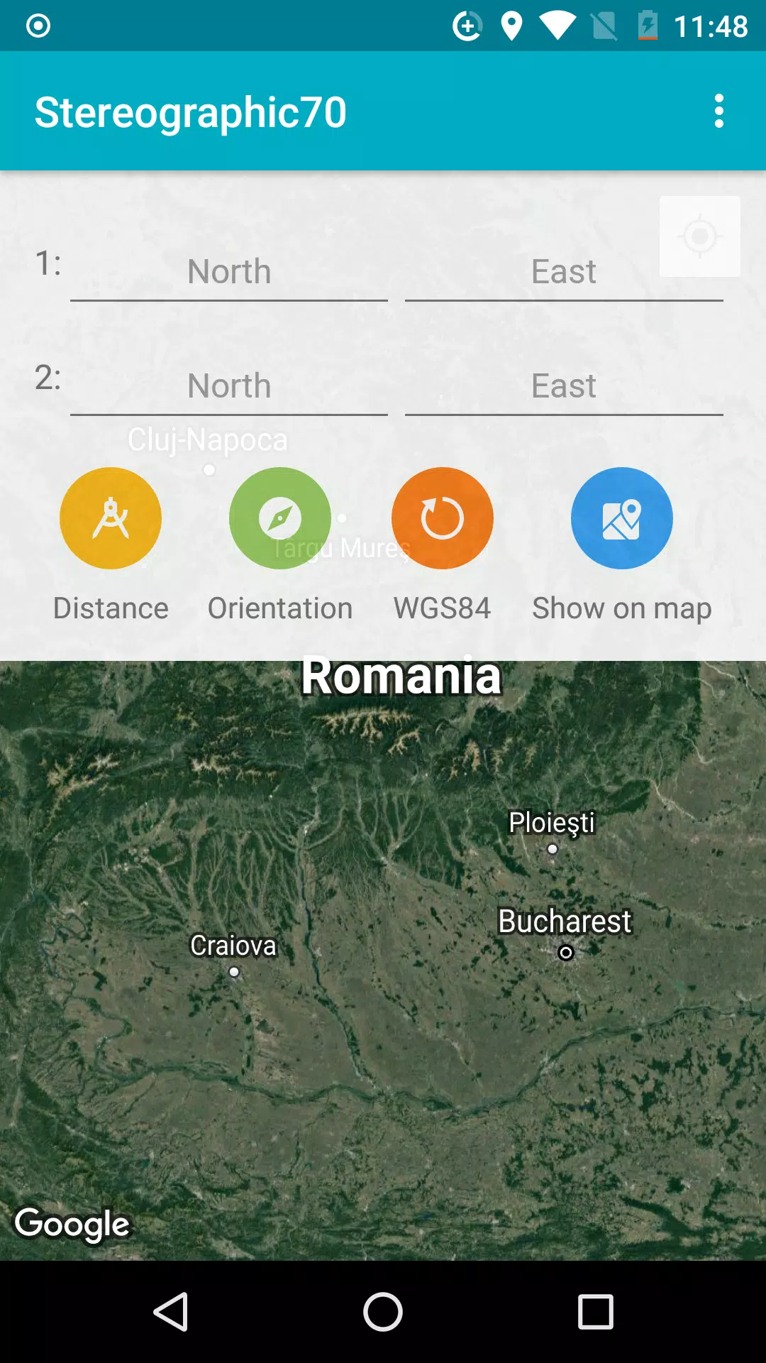
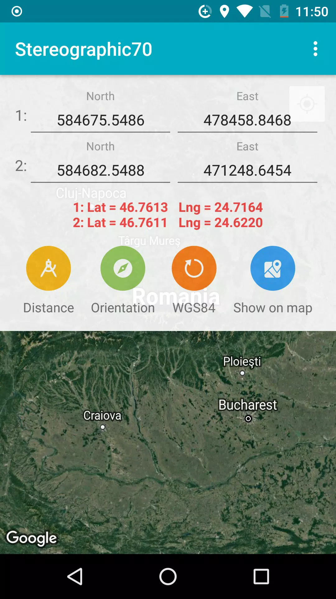
Coordinate Conversion: Easily convert coordinates between the Romanian Stereo '70 system and the widely-used WGS84 system. This feature is crucial for interoperability with other geographic information systems and datasets.
-
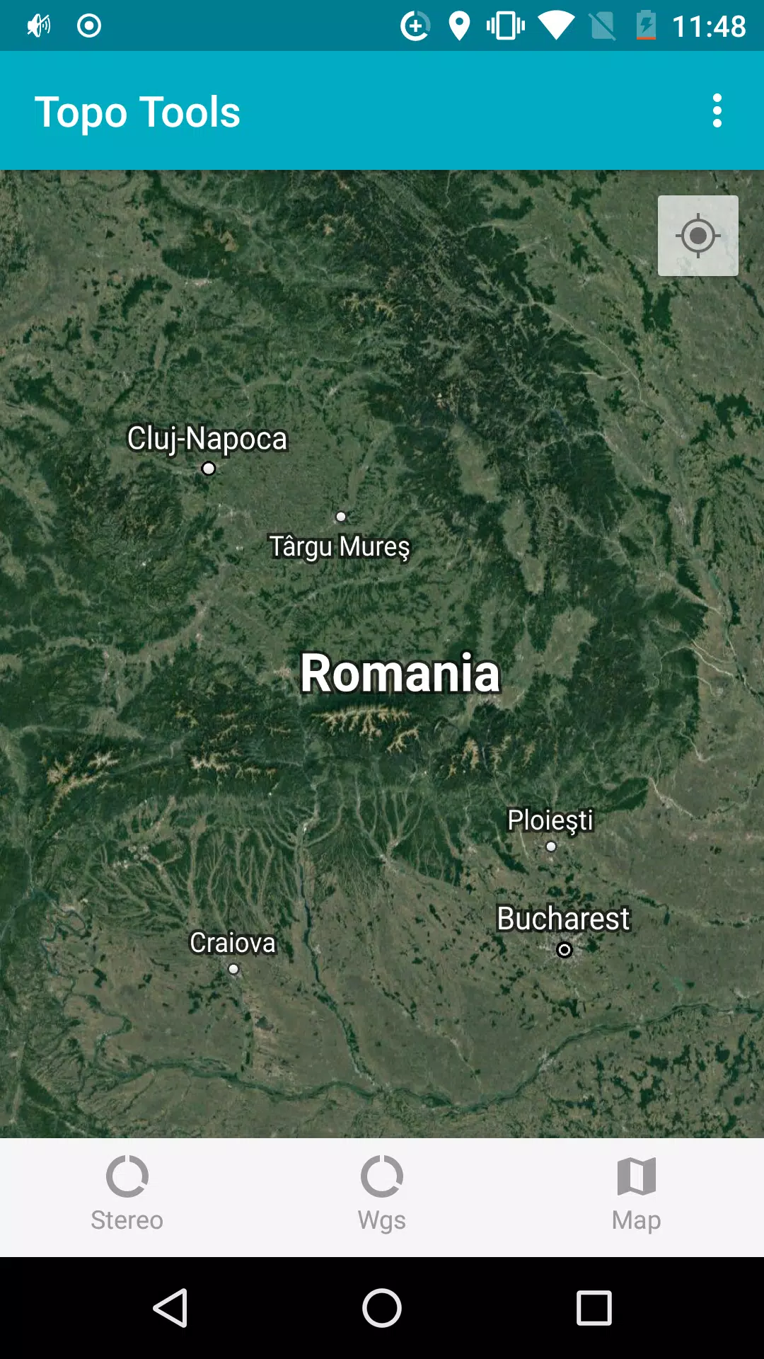
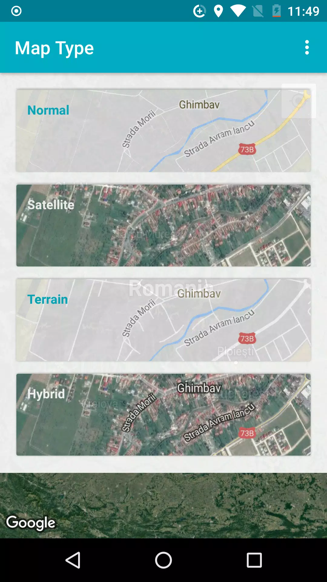
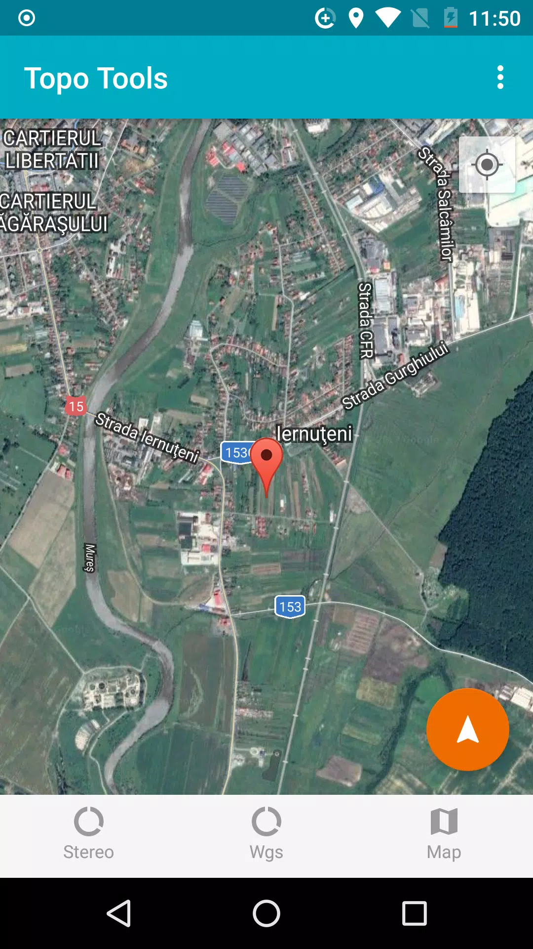
Map Localization: Localize Stereo '70 coordinates on a detailed map, providing visual context and aiding in precise location identification.
-
Navigation: Navigate directly to specific Stereo '70 coordinates using intuitive navigation tools, streamlining your workflow and enhancing efficiency.
-
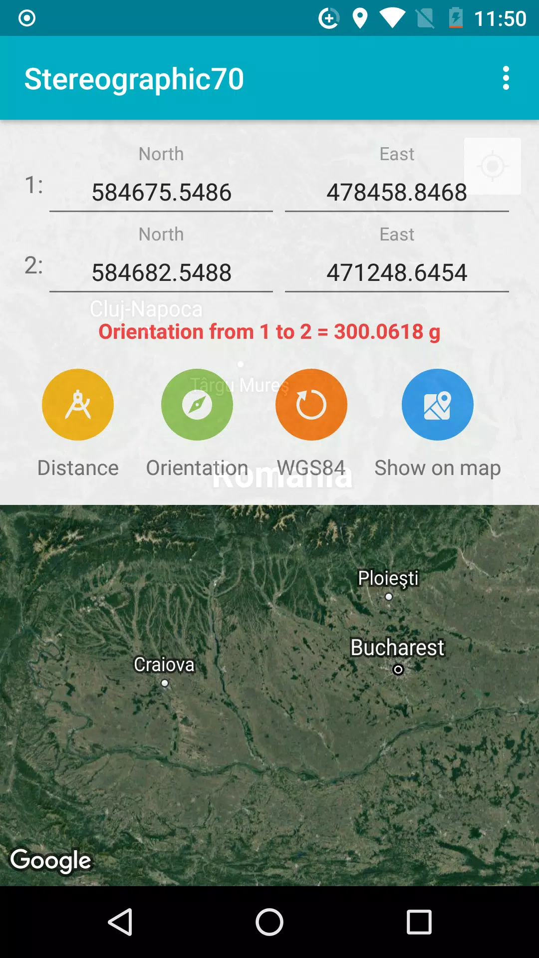
Orientation Calculation: Calculate the orientation angle between two points, which is vital for tasks such as setting up equipment or planning routes.
-
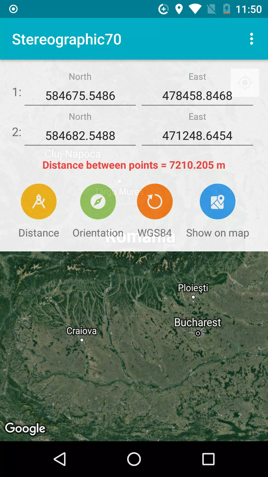
Distance Calculation: Measure the distance between two points accurately, ensuring precision in your measurements and calculations.
By utilizing these features, Topo Tools not only enhances accuracy but also saves time and effort, making it an indispensable tool for any land surveyor working with the Romanian Stereo '70 system.
This version of the description provides more context and detail, making it more engaging and informative for potential users.
صور Topo Tools
الإصدارات القديمة من Topo Tools
آراء المستخدمين
+ المراجعات
الأكثر شهرة
.png?x-oss-process=image/resize,w_146/format,webp)

